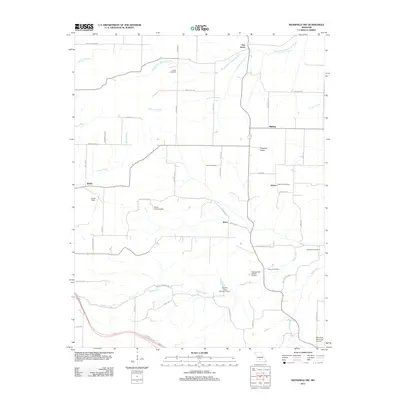
2011 Map of Mansfield NW
USGS Topo · Published 2011About this map
The headwaters of the James River and the meandering path of the Woods Fork Gasconade River define this rural landscape in Webster County. This area is characterized by a high concentration of small, dispersed settlements including Waldo, Jerico, and Antrim, the latter of which features a dedicated Antrim Post Office. For genealogists, the map preserves the locations of several burial grounds, such as Smith Cemetery in the north and Newton Cemetery further south, providing essential landmarks for tracing family lineages in this portion of the Ozarks.
Find a feature on this map
55 named features on this map. Tap any name to fly to it.
Don’t see what you’re looking for? This feature index may not catch every label — zoom into the map to look around manually.
Map Details
Editions of this 2011 Mansfield NW Map
This is the sole edition of this map. No revisions or reprints were ever made.
Other maps of this area

1939 · Fordland
USGS Topo · 1:62,500

1942 · Fordland
USGS Topo · 1:62,500

1946 · Niangua
USGS Topo · 1:62,500

1948 · Niangua
USGS Topo · 1:62,500

1951 · Mansfield NE
USGS Topo · 1:24,000

1951 · Mansfield NW
USGS Topo · 1:24,000
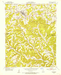
1951 · Mansfield
USGS Topo · 1:24,000
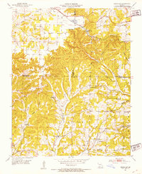
1951 · Cedar Gap
USGS Topo · 1:24,000

1954 · Springfield
USGS Topo · 1:250,000

1956 · Duncan
USGS Topo · 1:24,000