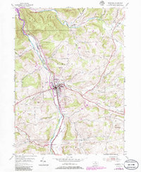
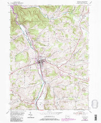
1954 Map of Mansfield
USGS Topo · Published 1986About this map
Mansfield serves as the regional hub at the confluence of the Tioga River and Corey Creek. This area of Tioga County reflects a mid-century academic and agricultural landscape, anchored by the presence of Teachers College and the local Fairgrounds. The map traces a network of rural settlements like Canoe Camp and Kellytown alongside topographic landmarks such as Big Hill and Pickle Hill. Genealogists will find significant value in the distribution of family-named burial grounds, including Clark Cem, Ripley Cem, and Whittaker Cem. Evidence of past infrastructure is visible along the river via an Old Railroad Grade, while 1980s updates highlight modern additions like the Corey Creek Golf Course and a Television Tower.
Find a feature on this map
46 named features on this map. Tap any name to fly to it.
Don’t see what you’re looking for? This feature index may not catch every label — zoom into the map to look around manually.
Map Details
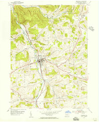
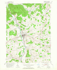
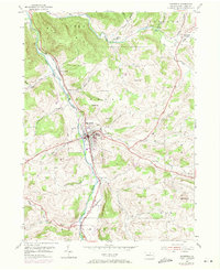
Editions of this 1954 Mansfield Map
5 editions found
Other maps of this area

1900 · Tioga
USGS Topo · 1:62,500

1902 · Tioga
USGS Topo · 1:62,500

1925 · Blossburg
USGS Topo · 1:62,500

1927 · Blossburg
USGS Topo · 1:62,500

1931 · Troy
USGS Topo · 1:48,000

1938 · Troy
USGS Topo · 1:62,500

1942 · Canton
USGS Topo · 1:62,500

1944 · Blossburg
USGS Topo · 1:62,500

1944 · Canton
USGS Topo · 1:62,500

1953 · Roseville
USGS Topo · 1:24,000
Featured Places
- Mansfield, PA
- Putnam Township, PA
- Tioga Township, PA
- Lawrence Corners, Rutland Township
- Paisley, Mansfield