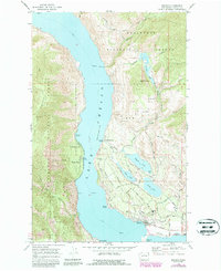
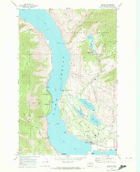
1968 Map of Manson
USGS Topo · Published 1987About this map
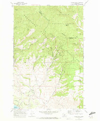
The settlement of Manson anchors this late-twentieth-century study of the eastern shore of Lake Chelan, where the orchards and residential blocks meet the steep slopes of Wenatchee National Forest. A complex network of inland water bodies including Wapato Lake, Roses Lake, and Dry Lake define the local topography, separated from the main lake by the dramatic prominence of Wapato Point.
Find a feature on this map
52 named features on this map. Tap any name to fly to it.
Don’t see what you’re looking for? This feature index may not catch every label — zoom into the map to look around manually.
Map Details
Editions of this 1968 Manson Map
2 editions found
Other maps of this area

1899 · Methow
USGS Topo · 1:125,000

1901 · Chelan
USGS Topo · 1:125,000

1901 · Methow
USGS Topo · 1:125,000

1955 · Concrete
USGS Topo · 1:250,000

1957 · Wenatchee
USGS Topo · 1:250,000

1958 · Concrete
USGS Topo · 1:250,000

1962 · Concrete
USGS Topo · 1:250,000
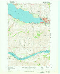
1968 · Chelan
USGS Topo · 1:24,000
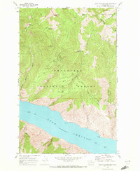
1968 · South Navarre Peak
USGS Topo · 1:24,000
1968 · Cooper Ridge
USGS Topo · 1:24,000