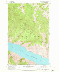
1968 Map of South Navarre Peak
USGS Topo · Published 1972About this map
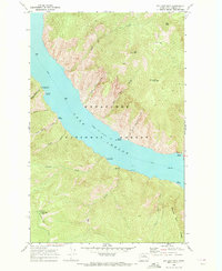
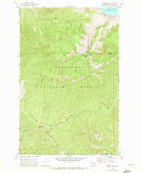
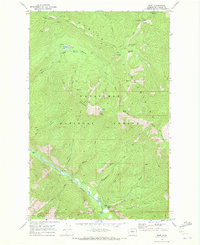
Lake Chelan dominates the southern reaches of this landscape, its steep shoreline punctuated by landmarks such as Deer Point and Limekiln Point. In the late 1960s, this region of the Wenatchee National Forest and Okanogan National Forest was defined by high-elevation summits and the infrastructure of water management. The mapping details an intricate system of a flume, aqueduct, and siphon threading through the mountains, alongside a small Dam and Gaging Station on Safety Harbor Creek.
Find a feature on this map
37 named features on this map. Tap any name to fly to it.
Don’t see what you’re looking for? This feature index may not catch every label — zoom into the map to look around manually.
Map Details
Editions of this 1968 South Navarre Peak Map
2 editions found

Other maps of this area

1899 · Methow
USGS Topo · 1:125,000

1901 · Chelan
USGS Topo · 1:125,000

1901 · Methow
USGS Topo · 1:125,000

1955 · Concrete
USGS Topo · 1:250,000

1957 · Wenatchee
USGS Topo · 1:250,000

1958 · Concrete
USGS Topo · 1:250,000

1962 · Concrete
USGS Topo · 1:250,000
1968 · Big Goat Mtn
USGS Topo · 1:24,000
1968 · Stormy Mtn.
USGS Topo · 1:24,000
1968 · Brief
USGS Topo · 1:24,000