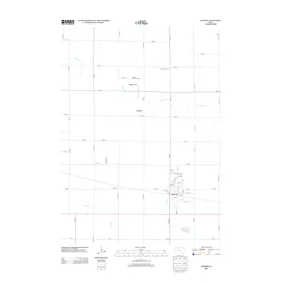
2013 Map of Manson
USGS Topo · Published 2013About this map
Manson serves as the primary hub of activity in this 2013 topographic survey, showing a structured grid of streets and local infrastructure typical of the Iowa plains. The landscape is defined by its agricultural utility and the water systems that support it, including the S Br Lizard Cr and Drainage Ditch Number 47. These watercourses reflect the engineering required to manage the flat, productive prairie land.
Find a feature on this map
61 named features on this map. Tap any name to fly to it.
Don’t see what you’re looking for? This feature index may not catch every label — zoom into the map to look around manually.
Map Details
Editions of this 2013 Manson Map
This is the sole edition of this map. No revisions or reprints were ever made.
Other maps of this area

1954 · Fort Dodge
USGS Topo · 1:250,000

1957 · Fort Dodge
USGS Topo · 1:250,000

1958 · Fort Dodge
USGS Topo · 1:250,000

1965 · Knierim
USGS Topo · 1:24,000

1979 · Pocahontas
USGS Topo · 1:24,000

1979 · Gilmore City SW
USGS Topo · 1:24,000

1979 · Manson
USGS Topo · 1:24,000

1979 · Pomeroy
USGS Topo · 1:24,000

1979 · Gilmore City
USGS Topo · 1:24,000

1979 · Palmer
USGS Topo · 1:24,000