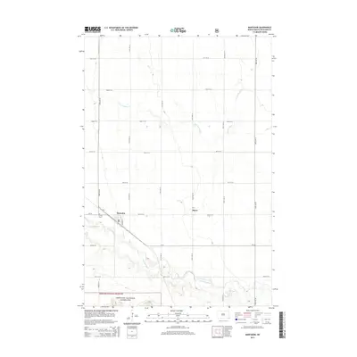
2014 Map of Mantador
USGS Topo · Published 2014About this map
The Mantador townsite and its surrounding agricultural grid define this corner of Richland County in 2014. The landscape is marked by the winding course of the Wild Rice River in the south, which contrasts with the straight-line section roads like 163rd Ave SE and 87th St SE. To the west of the town center lies Calvary Cem, a significant site for local family history research. In the lower portion of the map, the terrain shifts into the protected boundaries of the Sheyenne National Grassland, where the topography becomes more varied near the river valley. The settlement of Bayne and the drainage of S Br Antelope Cr further illustrate the rural character and water management priorities of this North Dakota prairie region.
Find a feature on this map
23 named features on this map. Tap any name to fly to it.
Don’t see what you’re looking for? This feature index may not catch every label — zoom into the map to look around manually.
Map Details
Editions of this 2014 Mantador Map
This is the sole edition of this map. No revisions or reprints were ever made.
Other maps of this area

1904 · Wahpeton
USGS Topo · 1:125,000

1907 · Wyndmere
USGS Topo · 1:125,000

1953 · Fargo
USGS Topo · 1:250,000

1956 · Fargo
USGS Topo · 1:250,000

1960 · Mooreton West
USGS Topo · 1:24,000

1960 · Wyndmere SE
USGS Topo · 1:24,000

1960 · Mooreton East
USGS Topo · 1:24,000

1964 · Hankinson
USGS Topo · 1:24,000

1964 · Mantador
USGS Topo · 1:24,000

1964 · Moselle
USGS Topo · 1:24,000