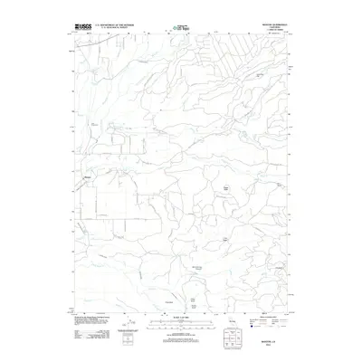
2012 Map of Manton
USGS Topo · Published 2012About this map
Manton sits at the heart of this landscape where the complex hydraulics of the Sierra Nevada foothills are on full display. The area is defined by an intricate network of water management features, including the Keswick Ditch, Cross Country Ditch, and Union Canal, which divert flows between the North and South Forks of Battle Creek. These engineering works support the Volta Powerhouse, a significant landmark in the region's hydroelectric history.
Find a feature on this map
61 named features on this map. Tap any name to fly to it.
Don’t see what you’re looking for? This feature index may not catch every label — zoom into the map to look around manually.
Map Details
Editions of this 2012 Manton Map
This is the sole edition of this map. No revisions or reprints were ever made.
Other maps of this area

1886 · Lassen Peak
USGS Topo · 1:250,000

1892 · Lassen Peak
USGS Topo · 1:250,000

1894 · Lassen Peak
USGS Topo · 1:250,000

1935 · Burney
USGS Topo · 1:96,000

1935 · Paynes Creek
USGS Topo · 1:96,000

1939 · Burney
USGS Topo · 1:125,000

1941 · Mineral
USGS Topo · 1:125,000

1955 · Westwood
USGS Topo · 1:250,000

1956 · Lassen Peak
USGS Topo · 1:62,500

1956 · Manton
USGS Topo · 1:62,500