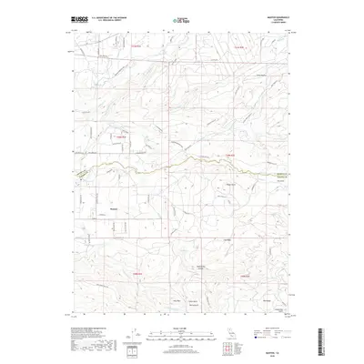
2018 Map of Manton
USGS Topo · Published 2018About this map
Manton serves as the central settlement on this 2018 survey, positioned where the terrain begins to transition along the Shasta Co Tehama Co line. The landscape is defined by an intricate network of water management and natural drainage, including the Keswick Ditch, Union Canal, and Cross Country Ditch. These man-made features weave through a territory carved by the N Fork Battle Cr and S Fork Battle Cr, which dominate the local topography.
Find a feature on this map
79 named features on this map. Tap any name to fly to it.
Don’t see what you’re looking for? This feature index may not catch every label — zoom into the map to look around manually.
Map Details
Editions of this 2018 Manton Map
This is the sole edition of this map. No revisions or reprints were ever made.
Other maps of this area

1886 · Lassen Peak
USGS Topo · 1:250,000

1892 · Lassen Peak
USGS Topo · 1:250,000

1894 · Lassen Peak
USGS Topo · 1:250,000

1935 · Burney
USGS Topo · 1:96,000

1935 · Paynes Creek
USGS Topo · 1:96,000

1939 · Burney
USGS Topo · 1:125,000

1941 · Mineral
USGS Topo · 1:125,000

1955 · Westwood
USGS Topo · 1:250,000

1956 · Lassen Peak
USGS Topo · 1:62,500

1956 · Manton
USGS Topo · 1:62,500