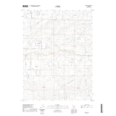
2021 Map of Manton
USGS Topo · Published 2021About this map
Manton sits as a central settlement in this high-elevation landscape where water management and ranching define the terrain. The community is anchored by the Manton Cem and infrastructure like Manton School Rd, illustrating a longstanding rural presence. The landscape is bisected by the Shasta Co and Tehama Co boundary, a line that crosses several sophisticated water systems including the Cross Country Ditch and the Union Canal. These man-made channels divert flow from the complex network of the N Fork Battle Cr and S Fork Battle Cr, which have carved deep drainages like Devils Gulch and Initial Gulch. High points such as Digger Butte and the extensive Blue Ridge overlook a patchwork of private roads and timbered flats like Long Hay Flat, reflecting the region's intersection of natural resources and early 21st-century habitation.
Find a feature on this map
79 named features on this map. Tap any name to fly to it.
Don’t see what you’re looking for? This feature index may not catch every label — zoom into the map to look around manually.
Map Details
Editions of this 2021 Manton Map
This is the sole edition of this map. No revisions or reprints were ever made.
Other maps of this area

1886 · Lassen Peak
USGS Topo · 1:250,000

1892 · Lassen Peak
USGS Topo · 1:250,000

1894 · Lassen Peak
USGS Topo · 1:250,000

1935 · Burney
USGS Topo · 1:96,000

1935 · Paynes Creek
USGS Topo · 1:96,000

1939 · Burney
USGS Topo · 1:125,000

1941 · Mineral
USGS Topo · 1:125,000

1955 · Westwood
USGS Topo · 1:250,000

1956 · Lassen Peak
USGS Topo · 1:62,500

1956 · Manton
USGS Topo · 1:62,500