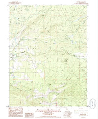
1985 Map of Manton
USGS Topo · Published 1986About this map
Manton serves as the focal point of this mid-1980s survey, situated where the Shasta Co Tehama Co boundary line crosses the landscape. The region's hydroelectric infrastructure is prominently displayed, featuring the Volta Powerhouse, a Power House, and a Substation Power House along the northern reaches. These facilities are supported by an intricate water management system including the Union Canal, South Canal, and numerous unnamed flumes that divert water through the volcanic terrain.
Find a feature on this map
44 named features on this map. Tap any name to fly to it.
Don’t see what you’re looking for? This feature index may not catch every label — zoom into the map to look around manually.
Map Details
Editions of this 1985 Manton Map
This is the sole edition of this map. No revisions or reprints were ever made.
Other maps of this area

1886 · Lassen Peak
USGS Topo · 1:250,000

1892 · Lassen Peak
USGS Topo · 1:250,000

1894 · Lassen Peak
USGS Topo · 1:250,000

1935 · Burney
USGS Topo · 1:96,000

1935 · Paynes Creek
USGS Topo · 1:96,000

1939 · Burney
USGS Topo · 1:125,000

1941 · Mineral
USGS Topo · 1:125,000

1955 · Westwood
USGS Topo · 1:250,000

1956 · Lassen Peak
USGS Topo · 1:62,500

1956 · Manton
USGS Topo · 1:62,500