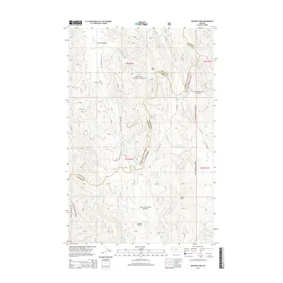
2014 Map of Mantrap Fork
USGS Topo · Published 2014About this map
McGinnis Meadows and Jefferson Meadows define the high-altitude settlement pattern in this 2014 survey of the Cabinet Mountains region. Located along the jurisdictional boundary of Sanders and Lincoln counties, the area is dominated by the intersecting territories of the Kootenai National Forest and Lolo National Forest. The complex drainage system is centered on the Mantrap Fork and Fishtrap Creek, which feed several remote water bodies including Whitney Lake, Crescent Lake, and Upper Fishtrap Lake.
Find a feature on this map
44 named features on this map. Tap any name to fly to it.
Don’t see what you’re looking for? This feature index may not catch every label — zoom into the map to look around manually.
Map Details
Editions of this 2014 Mantrap Fork Map
This is the sole edition of this map. No revisions or reprints were ever made.
Other maps of this area

1920 · Jennings
USGS Topo · 1:125,000

1935 · Thompson Lakes
USGS Topo · 1:96,000

1937 · Thompson Falls
USGS Topo · 1:125,000

1942 · Thompson Lakes
USGS Topo · 1:125,000

1956 · Wallace
USGS Topo · 1:250,000

1957 · Kalispell
USGS Topo · 1:250,000

1960 · Kalispell
USGS Topo · 1:250,000

1960 · Wallace
USGS Topo · 1:250,000

1961 · Kalispell
USGS Topo · 1:250,000

1966 · Vermilion Peak
USGS Topo · 1:24,000