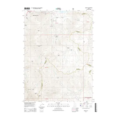
2014 Map of Mantua
USGS Topo · Published 2014About this map
Mantua sits centered in a high mountain valley, serving as a primary settlement focal point within the northern Wasatch Range. The landscape is defined by its dramatic relief, rising from the Mantua Reservoir to high summits like Willard Peak and Grizzly Peak. This 2014 survey documents the complex water management and natural drainage systems of the region, including the N Fork Ogden River and numerous springs like Dock Flat Spring and Maple Springs. The town's historical footprint is anchored by the Mantua Cem and framed by the Cache National Forest, which covers a significant portion of the quadrangle. Transportation into the high country is marked by routes such as Willard Peak Rd and E Rocky Dugway Rd, providing access to landmarks like Inspiration Point and the remote Bighorn Enclosure.
Find a feature on this map
52 named features on this map. Tap any name to fly to it.
Don’t see what you’re looking for? This feature index may not catch every label — zoom into the map to look around manually.
Map Details
Editions of this 2014 Mantua Map
This is the sole edition of this map. No revisions or reprints were ever made.
Other maps of this area

1914 · Logan
USGS Topo · 1:125,000

1916 · Logan
USGS Topo · 1:125,000

1954 · Ogden
USGS Topo · 1:250,000

1954 · Brigham City
USGS Topo · 1:250,000

1955 · Plain City
USGS Topo · 1:24,000

1955 · Paradise
USGS Topo · 1:24,000

1955 · Mantua
USGS Topo · 1:24,000

1955 · Huntsville
USGS Topo · 1:24,000

1955 · James Peak
USGS Topo · 1:24,000

1955 · Willard
USGS Topo · 1:24,000