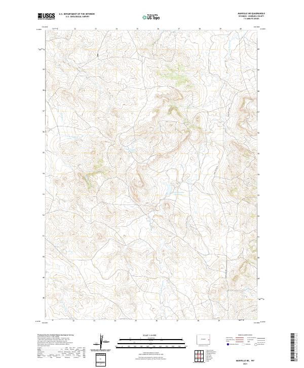
2021 Map of Manville NE
USGS Topo · Published 2021About this map
The High Plains landscape of eastern Wyoming is defined here by a network of seasonal drainages and essential ranching water infrastructure. Young Woman Cr meanders through the eastern portion of the quadrangle, while Bast Number 1 Reservoir and Magoon Number 1 Reservoir stand out as critical landmarks for local water management. The terrain is characterized by the confluence of several minor waterways including Little Boggy Cr, Boggy Cr, and Cherry Cr, which feed into larger regional basins.
Find a feature on this map
13 named features on this map. Tap any name to fly to it.
Don’t see what you’re looking for? This feature index may not catch every label — zoom into the map to look around manually.
Map Details
Editions of this 2021 Manville NE Map
This is the sole edition of this map. No revisions or reprints were ever made.
Other maps of this area

1954 · Torrington
USGS Topo · 1:250,000

1955 · Newcastle
USGS Topo · 1:250,000

1958 · Torrington
USGS Topo · 1:250,000

1958 · Newcastle
USGS Topo · 1:250,000

1981 · Telephone Draw
USGS Topo · 1:24,000

1981 · Lusk
USGS Topo · 1:24,000
1981 · Rabbit Mountains
USGS Topo · 1:24,000

1981 · Manville
USGS Topo · 1:24,000
1981 · Hat Rock
USGS Topo · 1:24,000

1981 · Bills Creek
USGS Topo · 1:24,000