2021 Map of Manville
USGS Topo · Published 2021About this map
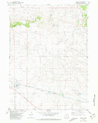
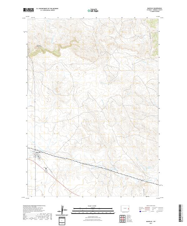
The town of Manville serves as the focal point of this Eastern Wyoming landscape, situated along the southern edge of a vast drainage network that feeds into the Niobrara River. This 2021 survey illustrates the rural layout of Niobrara County, where local infrastructure is deeply tied to the terrain, from the grid of Manville to the resting place at Dellview Cem. The surrounding environment is defined by seasonal waterways and ranching landmarks such as Kelly Spring and the Seventy-Seven Hills.
Find a feature on this map
25 named features on this map. Tap any name to fly to it.
Don’t see what you’re looking for? This feature index may not catch every label — zoom into the map to look around manually.
Map Details
Editions of this 2021 Manville Map
This is the sole edition of this map. No revisions or reprints were ever made.