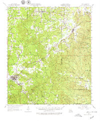
1957 Map of Many
USGS Topo · Published 1979About this map
Many serves as the primary hub of this 1950s landscape, positioned near the intersection of various local roads and the Many Airport. The parish line between Sabine Parish and Natchitoches Parish divides the territory, with the Texas and Pacific railroad cutting across the northern half through Robeline and Shamrock. This transit corridor supported small settlements and timber interests throughout the mid-20th century.
Find a feature on this map
95 named features on this map. Tap any name to fly to it.
Don’t see what you’re looking for? This feature index may not catch every label — zoom into the map to look around manually.
Map Details
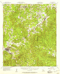
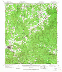
Editions of this 1957 Many Map
3 editions found
Other maps of this area

1935 · Hagewood
USGS Topo · 1:31,680

1937 · Bellwood
USGS Topo · 1:31,680

1937 · Campti SW
USGS Topo · 1:31,680

1938 · Hollis Creek
USGS Topo · 1:31,680

1938 · Allen
USGS Topo · 1:31,680

1941 · Zwolle
USGS Topo · 1:62,500

1941 · Pelican
USGS Topo · 1:62,500

1942 · Many
USGS Topo · 1:62,500

1942 · Florien
USGS Topo · 1:62,500

1942 · Kisatchie
USGS Topo · 1:62,500