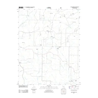
2011 Map of Many Springs
USGS Topo · Published 2011About this map
Many Springs and the surrounding Ozark plateau are defined by a complex network of springs and hollows that historically dictated the placement of Missouri homesteads and crossroads. The landscape is dotted with small, dispersed communities including Braswell, Lulu, and Hollis, each anchored by geographic landmarks and family legacies. A prominent feature is the Braswell Lookout Tower, while the terrain is marked by notable depressions such as Rough Hollow and Lime Kiln Hollow. The map reveals the deep-rooted genealogical history of Oregon County through several family burial grounds, including Bailey Cemetery, Neal Cemetery, and Lance Cemetery. Water is central to the area’s character, with Williams Spring, Cave Spring, and the Eleven Point River flowing through the eastern reaches. The presence of Hollis School Hollow indicates the importance of local education centers in these rural valleys, providing a window into the mid-century infrastructure of southern Missouri.
Find a feature on this map
57 named features on this map. Tap any name to fly to it.
Don’t see what you’re looking for? This feature index may not catch every label — zoom into the map to look around manually.
Map Details
Editions of this 2011 Many Springs Map
This is the sole edition of this map. No revisions or reprints were ever made.
Other maps of this area

1931 · Bandyville
USGS Topo · 1:48,000

1941 · Gatewood
USGS Topo · 1:62,500

1944 · Van Buren
USGS Topo · 1:62,500

1944 · Couch
USGS Topo · 1:62,500

1944 · Birch Tree
USGS Topo · 1:62,500

1945 · Gatewood
USGS Topo · 1:62,500

1946 · Couch
USGS Topo · 1:62,500

1946 · Van Buren
USGS Topo · 1:62,500

1948 · Birch Tree
USGS Topo · 1:62,500

1957 · Poplar Bluff
USGS Topo · 1:250,000