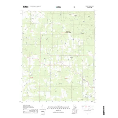
2017 Map of Many Springs
USGS Topo · Published 2017About this map
Many Springs and the surrounding Ozark foothills are defined by a network of hollows and springs that supported rural Missouri life in Oregon County during the early 21st century. The map shows the intersection of deep-rooted settlements and preserved wilderness within the Mark Twain National Forest. Local history is visible in the distribution of family and community burial sites such as Hollis Cem, Bailey Cem, and Cave Spring Cem, which are often located near long-established creek branches and ridges. The naming conventions throughout the area, from Wild Cat Hill to Devils Backbone, reflect a landscape of varying elevation. Significant water features like Williams Spring Br and Many Springs Br carve through the terrain, illustrating the hydrological patterns that once dictated the placement of homesteads in locations like Lulu. This survey provides a clear view of the rural road infrastructure, from local county routes to the winding paths like Conrad Trl.
Find a feature on this map
74 named features on this map. Tap any name to fly to it.
Don’t see what you’re looking for? This feature index may not catch every label — zoom into the map to look around manually.
Map Details
Editions of this 2017 Many Springs Map
This is the sole edition of this map. No revisions or reprints were ever made.
Other maps of this area

1931 · Bandyville
USGS Topo · 1:48,000

1941 · Gatewood
USGS Topo · 1:62,500

1944 · Van Buren
USGS Topo · 1:62,500

1944 · Couch
USGS Topo · 1:62,500

1944 · Birch Tree
USGS Topo · 1:62,500

1945 · Gatewood
USGS Topo · 1:62,500

1946 · Couch
USGS Topo · 1:62,500

1946 · Van Buren
USGS Topo · 1:62,500

1948 · Birch Tree
USGS Topo · 1:62,500

1957 · Poplar Bluff
USGS Topo · 1:250,000