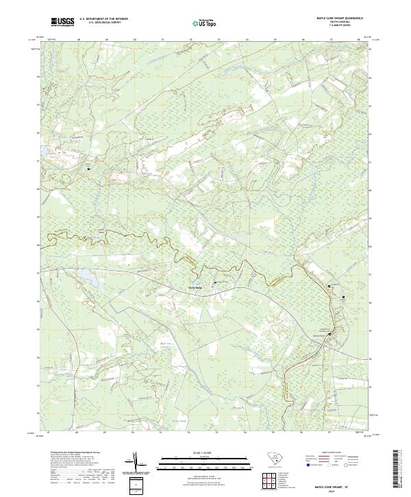
2024 Map of Maple Cane Swamp
USGS Topo · Published 2024About this map
The Edisto River carves a winding path through this corner of the Lowcountry, serving as the natural boundary between Dorchester and Colleton counties. The river's influence is evident in the surrounding landscape of dense wetlands, including the expansive Maple Cane Swamp and the dark waters of Four Hole Swamp. This region is characterized by a high concentration of small, family-named burial grounds like Rumph Cem, Muckenfuss Cem, and Ferguson Cem, which are scattered among the timbered tracts and rural homesteads.
Find a feature on this map
95 named features on this map. Tap any name to fly to it.
Don’t see what you’re looking for? This feature index may not catch every label — zoom into the map to look around manually.
Map Details
Editions of this 2024 Maple Cane Swamp Map
This is the sole edition of this map. No revisions or reprints were ever made.
Other maps of this area

1918 · Walterboro
USGS Topo · 1:62,500

1918 · Cottageville
USGS Topo · 1:62,500

1919 · Ridgeville
USGS Topo · 1:48,000

1920 · Ridgeville
USGS Topo · 1:62,500

1920 · St. George
USGS Topo · 1:48,000

1921 · St. George
USGS Topo · 1:62,500

1943 · Cottageville
USGS Topo · 1:62,500

1943 · Orangeburg
USGS Topo · 1:125,000

1943 · Walterboro
USGS Topo · 1:62,500

1943 · Ridgeville
USGS Topo · 1:62,500
Featured Places
- Mas Old Field Landing, SC
- Holly Ridge, SC
- Russell Lake Landing, SC
- Dorchester County, SC
- Colleton County, SC