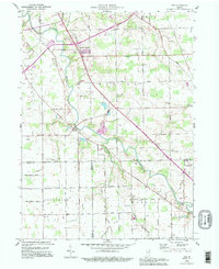
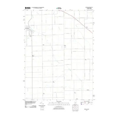
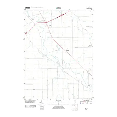
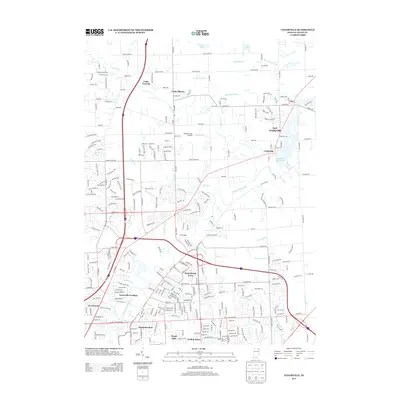
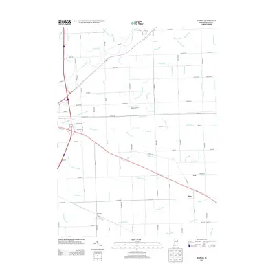
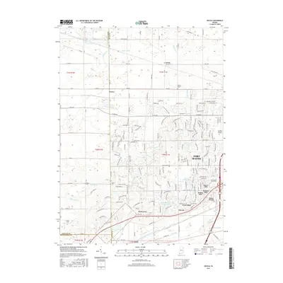
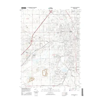
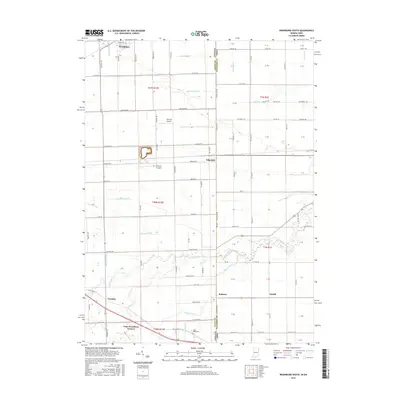
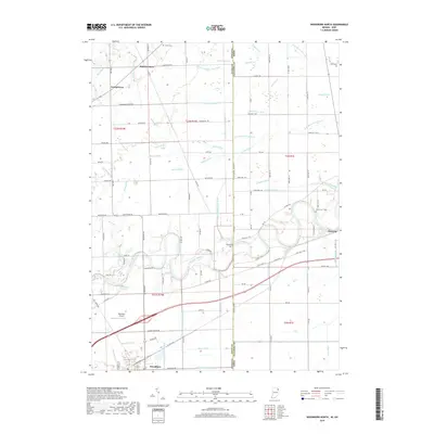
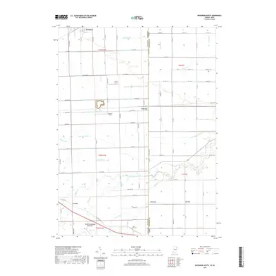
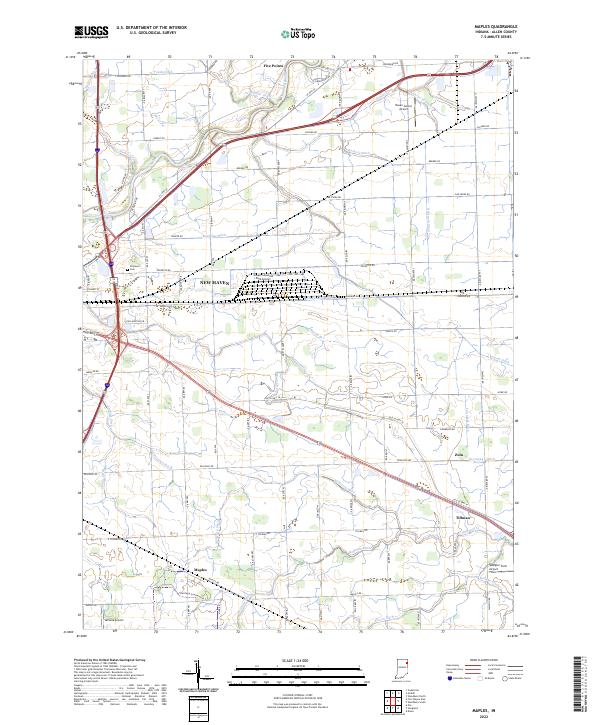
1992 Map of Maples
USGS Topo · Published 1995About this map
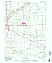
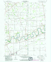
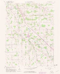
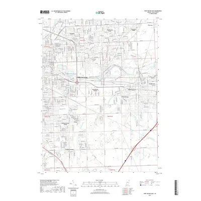
The Maumee River defines the northern reaches of this East Allen County landscape, where rural townships like Jefferson and Madison maintain a grid of agricultural section lines and drainage ditches. The map reveals a high concentration of institutional history in the small hamlets dotting the countryside, notably the St Louis Academy and its associated St Louis Academy Cem in the center of the sheet. Transportation is a primary theme, with the diagonal paths of the Norfolk and Western RR and the Lincoln Highway cutting across the survey area. These routes connect localized settlements such as Maples, Zulu, and Tillman, illustrating how 20th-century commerce and transit bypass older crossroads like Four Presidents Corners. The land is heavily managed for drainage, evidenced by numerous named channels like Gar Creek and Martin Branch that feed into the river system.
Find a feature on this map
41 named features on this map. Tap any name to fly to it.
Don’t see what you’re looking for? This feature index may not catch every label — zoom into the map to look around manually.
Map Details
Editions of this 1992 Maples Map
This is the sole edition of this map. No revisions or reprints were ever made.
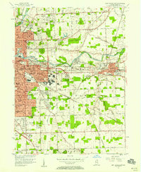
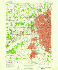
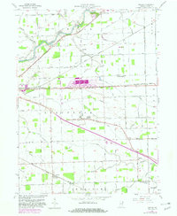
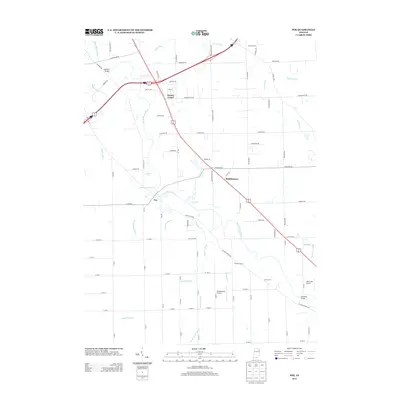
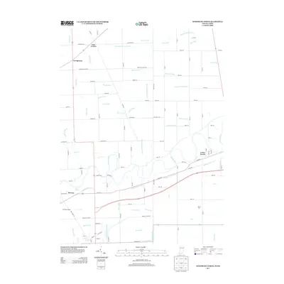
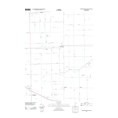
Historical Maps of New Haven Through Time
62 maps found

1956 Cedarville
Allen County, IN
1956 Fort Wayne East
Allen County, IN
1956 Fort Wayne West
Allen County, IN
1957 Maples
Allen County, IN
1958 Woodburn North
Allen County, IN
1958 Woodburn South
Allen County, IN
1960 Dixon
Allen County, IN
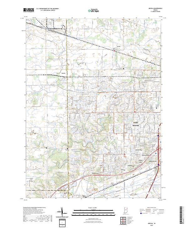
1961 Arcola
Allen County, IN
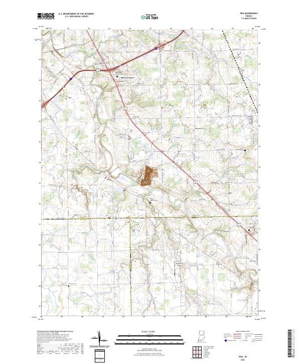
1962 Poe
Allen County, IN
1963 Cedarville
Allen County, IN
1963 Fort Wayne East
Allen County, IN
1963 Fort Wayne West
Allen County, IN
1992 Maples
Allen County, IN

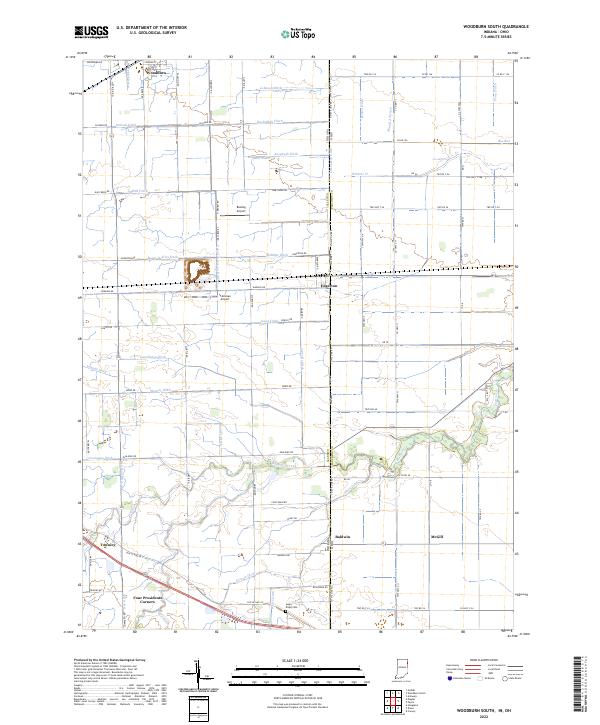
1992 Woodburn South
Allen County, IN
1994 Poe
Allen County, IN
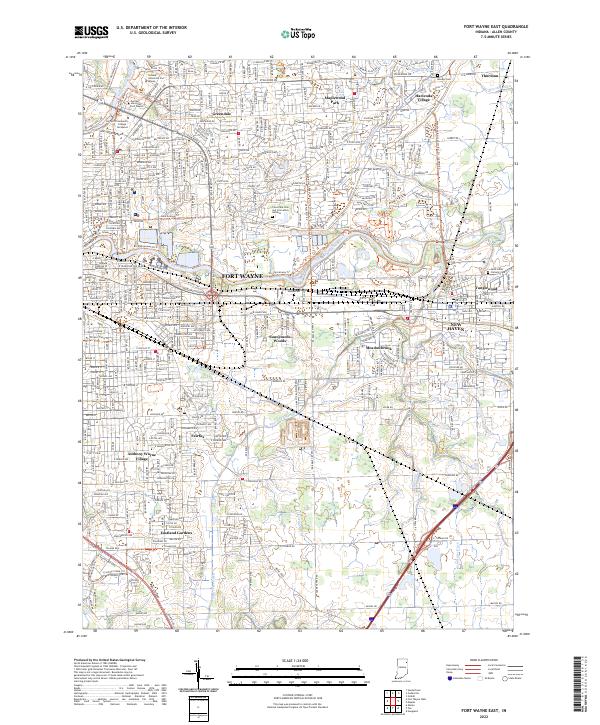
1998 Fort Wayne East
Allen County, IN

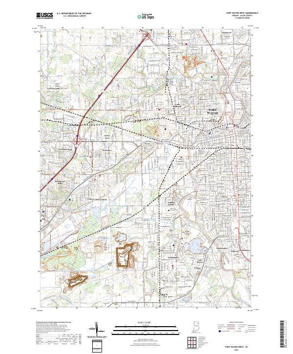
1998 Fort Wayne West
Allen County, IN
2010 Arcola
Allen County, IN
2010 Cedarville
Allen County, IN
2010 Dixon
Allen County, IN
2010 Fort Wayne East
Allen County, IN
2010 Fort Wayne West
Allen County, IN
2010 Maples
Allen County, IN
2010 Poe
Allen County, IN
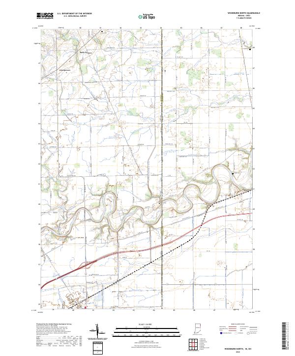
2010 Woodburn North
Allen County, IN
2010 Woodburn South
Allen County, IN
2013 Arcola
Allen County, IN
2013 Cedarville
Allen County, IN
2013 Dixon
Allen County, IN
2013 Fort Wayne East
Allen County, IN
2013 Fort Wayne West
Allen County, IN
2013 Maples
Allen County, IN
2013 Poe
Allen County, IN
2013 Woodburn North
Allen County, IN
2013 Woodburn South
Allen County, IN
2016 Arcola
Allen County, IN
2016 Cedarville
Allen County, IN
2016 Dixon
Allen County, IN
2016 Fort Wayne East
Allen County, IN
2016 Fort Wayne West
Allen County, IN
2016 Maples
Allen County, IN
2016 Poe
Allen County, IN
2016 Woodburn North
Allen County, IN
2016 Woodburn South
Allen County, IN
2019 Arcola
Allen County, IN
2019 Cedarville
Allen County, IN
2019 Dixon
Allen County, IN
2019 Fort Wayne East
Allen County, IN
2019 Fort Wayne West
Allen County, IN
2019 Maples
Allen County, IN
2019 Poe
Allen County, IN
2019 Woodburn North
Allen County, IN
2019 Woodburn South
Allen County, IN
2022 Cedarville
Allen County, IN
2022 Dixon
Allen County, IN
2022 Fort Wayne East
Allen County, IN
2022 Fort Wayne West
Allen County, IN
2022 Maples
Allen County, IN
2022 Poe
Allen County, IN
2022 Woodburn North
Allen County, IN
2022 Woodburn South
Allen County, IN
2023 Arcola
Allen County, IN