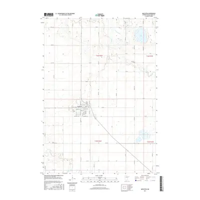
2016 Map of Mapleton
USGS Topo · Published 2016About this map
Mapleton stands as the primary hub of this southern Minnesota landscape, where the town’s grid is anchored by several local landmarks including Union Cem and Calvary Cem. The surrounding terrain is defined by the wandering paths of the Cobb River and the Maple River, which cut through a predominantly agricultural region. These waterways, along with the Little Cobb River, drain into local basins such as Perch Lake and Knights Lake, reflecting the post-glacial topography typical of Blue Earth County. Genealogists will find particular value in the scattered rural burial sites, such as Beauford Cem to the northeast and Chase Cem near the southwestern bend of the Maple River, which mark the locations of early area settlements and farmsteads.
Find a feature on this map
80 named features on this map. Tap any name to fly to it.
Don’t see what you’re looking for? This feature index may not catch every label — zoom into the map to look around manually.
Map Details
Editions of this 2016 Mapleton Map
This is the sole edition of this map. No revisions or reprints were ever made.
Other maps of this area

1950 · Mankato East
USGS Topo · 1:62,500

1951 · Mankato East
USGS Topo · 1:62,500

1951 · Mankato West
USGS Topo · 1:62,500

1953 · Saint Paul
USGS Topo · 1:250,000

1953 · New Ulm
USGS Topo · 1:250,000

1954 · Fairmont
USGS Topo · 1:250,000

1954 · Mason City
USGS Topo · 1:250,000

1957 · New Ulm
USGS Topo · 1:250,000

1957 · Mason City
USGS Topo · 1:250,000

1958 · New Ulm
USGS Topo · 1:250,000