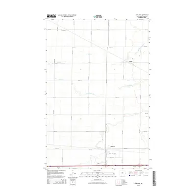
2014 Map of Mapleton
USGS Topo · Published 2014About this map
Mapleton sits as a primary settlement in this section of Cass County, defined by a distinct grid of agricultural roads and the winding path of the Maple River. The landscape is a classic example of Red River Valley topography, where the drainage patterns of the Rush River and the Lower Br Rush River cut across a strictly surveyed section line system. Small communities like Prosper and Newman punctuate the northern half of the quadrangle, serving as focal points for the surrounding rural territory. Local family and historical connections are anchored at the Mapleton Cem and along streets such as Carl Olsen St. The infrastructure reflects a modern transition, with the intersection of Meridian Rd and southern transit corridors providing a link between the agricultural hinterland and the developing outskirts of the Fargo-Moorhead metropolitan area.
Find a feature on this map
27 named features on this map. Tap any name to fly to it.
Don’t see what you’re looking for? This feature index may not catch every label — zoom into the map to look around manually.
Map Details
Editions of this 2014 Mapleton Map
This is the sole edition of this map. No revisions or reprints were ever made.
Other maps of this area

1895 · Fargo
USGS Topo · 1:125,000

1895 · Casselton
USGS Topo · 1:125,000

1897 · Fargo
USGS Topo · 1:125,000

1897 · Casselton
USGS Topo · 1:125,000

1952 · Grand Forks
USGS Topo · 1:250,000

1953 · Fargo
USGS Topo · 1:250,000

1956 · Fargo
USGS Topo · 1:250,000

1956 · Grand Forks
USGS Topo · 1:250,000

1959 · South West Fargo
USGS Topo · 1:24,000

1959 · West Fargo
USGS Topo · 1:24,000