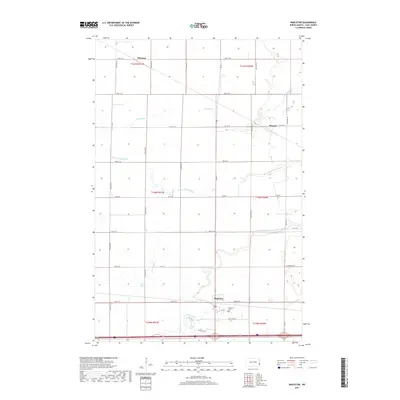
2017 Map of Mapleton
USGS Topo · Published 2017About this map
Mapleton serves as a central hub in this section of the Red River Valley, situated where the Maple River winds through the prairie landscape. The area is defined by its agricultural grid, intersected by significant waterways such as the Rush River and its various branches, including the Lower Br Rush River. For those tracing local heritage, the Mapleton Cem is a prominent landmark located just north of the town center. The map also details smaller communities like Newman in the north and Prosper to the east, connected by a network of county roads including Co Rd 11 and Co Rd 20. This 2017 survey documents the modern layout of these Cass County settlements, showing the intersection of local streets like Carl Olsen St and Sunset Dr against the vast township and range divisions that have organized this territory for generations.
Find a feature on this map
34 named features on this map. Tap any name to fly to it.
Don’t see what you’re looking for? This feature index may not catch every label — zoom into the map to look around manually.
Map Details
Editions of this 2017 Mapleton Map
This is the sole edition of this map. No revisions or reprints were ever made.
Other maps of this area

1895 · Fargo
USGS Topo · 1:125,000

1895 · Casselton
USGS Topo · 1:125,000

1897 · Fargo
USGS Topo · 1:125,000

1897 · Casselton
USGS Topo · 1:125,000

1952 · Grand Forks
USGS Topo · 1:250,000

1953 · Fargo
USGS Topo · 1:250,000

1956 · Fargo
USGS Topo · 1:250,000

1956 · Grand Forks
USGS Topo · 1:250,000

1959 · South West Fargo
USGS Topo · 1:24,000

1959 · West Fargo
USGS Topo · 1:24,000