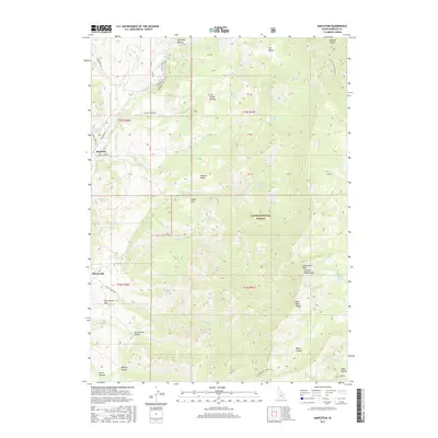
2017 Map of Mapleton
USGS Topo · Published 2017About this map
Mapleton and Cherryville anchor the western edge of this 2017 survey, where the agricultural flats of Franklin County meet the rising elevations of the Bear River Range. The landscape transitions from irrigated valley floors, supported by the Cub River-Worm Cr Canal and the Middle Ditch, into the complex topography of the Cache National Forest. In the rugged eastern uplands, the terrain is defined by named peaks and deep drainages, including Wilderness Peak Andrew Nyman Mtn and Hillyard Canyon. Numerous mountain springs such as Self Help Spring, Sawmill Spring, and Burbank Spring feed the drainages of Sugar Cr and Maple Cr. The survey also highlights high-altitude features like Litz Basin and Gibson Lakes, illustrating the seasonal water resources critical to this part of Idaho. This layout provides a clear view of how early 21st-century settlement patterns continue to follow the break in terrain between the arable lowlands and the protected forest interior.
Find a feature on this map
63 named features on this map. Tap any name to fly to it.
Don’t see what you’re looking for? This feature index may not catch every label — zoom into the map to look around manually.
Map Details
Editions of this 2017 Mapleton Map
This is the sole edition of this map. No revisions or reprints were ever made.
Other maps of this area

1914 · Logan
USGS Topo · 1:125,000

1915 · Preston
USGS Topo · 1:96,000

1916 · Logan
USGS Topo · 1:125,000

1918 · Preston
USGS Topo · 1:125,000

1954 · Ogden
USGS Topo · 1:250,000

1955 · Preston
USGS Topo · 1:250,000

1958 · Ogden
USGS Topo · 1:250,000

1958 · Preston
USGS Topo · 1:250,000

1960 · Ogden
USGS Topo · 1:250,000

1962 · Preston
USGS Topo · 1:250,000