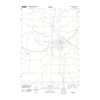
2010 Map of Maquoketa
USGS Topo · Published 2010About this map
Maquoketa serves as the central hub of Jackson County, where the grid of city streets meets the winding path of the Maquoketa River. This 2010 survey illustrates a landscape defined by its waterways, including the North Fork Maquoketa River and several smaller tributaries like Prairie Creek and Silver Creek. The mapping reveals a high density of family and community burial grounds, such as Woods Farm Cemetery and Goddard Cemetery, which offer valuable geographic data for genealogists tracing ancestral roots in the region.
Find a feature on this map
57 named features on this map. Tap any name to fly to it.
Don’t see what you’re looking for? This feature index may not catch every label — zoom into the map to look around manually.
Map Details
Editions of this 2010 Maquoketa Map
This is the sole edition of this map. No revisions or reprints were ever made.
Other maps of this area

1891 · DeWitt
USGS Topo · 1:62,500

1891 · Maquoketa
USGS Topo · 1:62,500

1891 · Baldwin
USGS Topo · 1:62,500

1892 · Wheatland
USGS Topo · 1:62,500

1894 · Wheatland
USGS Topo · 1:62,500

1901 · Peosta
USGS Topo · 1:125,000

1901 · Rock Island
USGS Topo · 1:125,000

1910 · Rock Island
USGS Topo · 1:125,000

1958 · Davenport
USGS Topo · 1:250,000

1959 · Dubuque
USGS Topo · 1:250,000