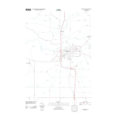
2013 Map of Maquoketa
USGS Topo · Published 2013About this map
The confluence of the Maquoketa River and the N Fork Maquoketa River anchors this regional hub in eastern Iowa. Maquoketa is shown in detail, including its residential grid and civic landmarks like the Jackson County Fairgrounds and Timber City Golf Course. The map traces a landscape defined by its waterways, including the winding Prairie Cr and Silver Cr that drain the agricultural lands surrounding the town. Just to the north, the small settlement of Hurstville sits near the banks of Hurstville Br, while Bridgeport occupies the eastern edge of the survey. Transportation is a primary feature, with the Maquoketa Municipal Airport serving the area and a dense network of county roads like Caves Rd and Rockdale Rd connecting the outlying farms to the central city.
Find a feature on this map
103 named features on this map. Tap any name to fly to it.
Don’t see what you’re looking for? This feature index may not catch every label — zoom into the map to look around manually.
Map Details
Editions of this 2013 Maquoketa Map
This is the sole edition of this map. No revisions or reprints were ever made.
Other maps of this area

1891 · DeWitt
USGS Topo · 1:62,500

1891 · Maquoketa
USGS Topo · 1:62,500

1891 · Baldwin
USGS Topo · 1:62,500

1892 · Wheatland
USGS Topo · 1:62,500

1894 · Wheatland
USGS Topo · 1:62,500

1901 · Peosta
USGS Topo · 1:125,000

1901 · Rock Island
USGS Topo · 1:125,000

1910 · Rock Island
USGS Topo · 1:125,000

1958 · Davenport
USGS Topo · 1:250,000

1959 · Dubuque
USGS Topo · 1:250,000