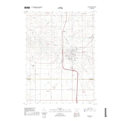
2018 Map of Maquoketa
USGS Topo · Published 2018About this map
The confluence of the Maquoketa River and the North Fork Maquoketa River anchors the geography of this eastern Iowa landscape. In the heart of the region, the city of Maquoketa serves as a central hub, surrounded by smaller settlements like Hurstville and Bridgeport. The town’s layout is documented down to individual street names, including W Platt St and E Summit St. This 2018 survey reveals a landscape where modern infrastructure, such as the Maquoketa Municipal Airport, coexists with long-established rural foundations.
Find a feature on this map
101 named features on this map. Tap any name to fly to it.
Don’t see what you’re looking for? This feature index may not catch every label — zoom into the map to look around manually.
Map Details
Editions of this 2018 Maquoketa Map
This is the sole edition of this map. No revisions or reprints were ever made.
Other maps of this area

1891 · DeWitt
USGS Topo · 1:62,500

1891 · Maquoketa
USGS Topo · 1:62,500

1891 · Baldwin
USGS Topo · 1:62,500

1892 · Wheatland
USGS Topo · 1:62,500

1894 · Wheatland
USGS Topo · 1:62,500

1901 · Peosta
USGS Topo · 1:125,000

1901 · Rock Island
USGS Topo · 1:125,000

1910 · Rock Island
USGS Topo · 1:125,000

1958 · Davenport
USGS Topo · 1:250,000

1959 · Dubuque
USGS Topo · 1:250,000