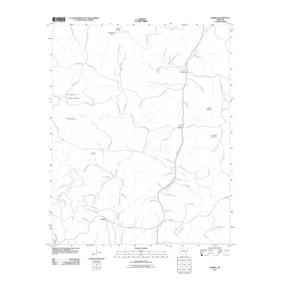
2011 Map of Marble
USGS Topo · Published 2011About this map
The Kings River meanders through the southwest corner of this Ozark landscape, where the small community of Marble sits near the junction of several rural routes. This 2011 survey reveals a territory defined by its deep drainage patterns and ridges, with named features such as Wagon Shed Hollow and Brushy Hollow carved by Piney Creek. For genealogists and local historians, the sheet is particularly valuable for its documentation of small family and community burial sites, including White Oak Cemetery, Merl Cemetery, and Dean Cemetery. The settlement pattern follows the geography of the creek valleys, with small clusters like Metalton and Dean serving as focal points along a network of county roads. Prominent elevations like Walker Mountain and Chinkapin Mountain rise above the Dry Fork drainage, providing a clear view of the complex topography that has shaped settlement in Madison County.
Find a feature on this map
83 named features on this map. Tap any name to fly to it.
Don’t see what you’re looking for? This feature index may not catch every label — zoom into the map to look around manually.
Map Details
Editions of this 2011 Marble Map
This is the sole edition of this map. No revisions or reprints were ever made.
Other maps of this area

1900 · Eureka Springs
USGS Topo · 1:125,000

1901 · Eureka Springs
USGS Topo · 1:125,000

1904 · Harrison
USGS Topo · 1:125,000

1905 · Harrison
USGS Topo · 1:125,000

1945 · Harrison
USGS Topo · 1:250,000

1949 · Harrison
USGS Topo · 1:250,000

1954 · Harrison
USGS Topo · 1:250,000

1958 · Harrison
USGS Topo · 1:250,000

1964 · Harrison
USGS Topo · 1:250,000
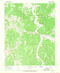
1968 · Osage
USGS Topo · 1:24,000