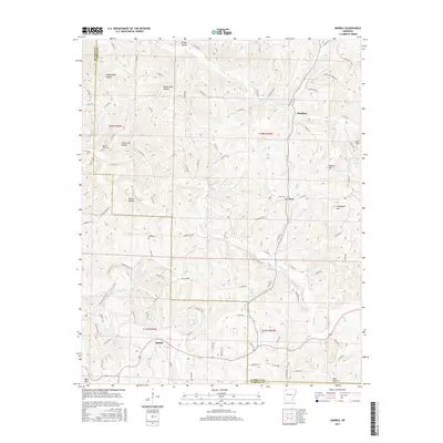
2017 Map of Marble
USGS Topo · Published 2017About this map
The Kings River flows through this Ozark landscape, marking a central geography for the communities of Marble, Dean, and Metalton. The terrain is defined by a series of significant peaks and hollows, including Chinkapin Mtn, Walker Mtn, and Fultz Mtn, which separate the various drainage basins. For those tracing family histories, the map identifies several local burial grounds such as White Oak Cem, Dean Cem, and Mert Cem, often located near established road networks like Carroll 544 Rd and Co Rd 717.
Find a feature on this map
102 named features on this map. Tap any name to fly to it.
Don’t see what you’re looking for? This feature index may not catch every label — zoom into the map to look around manually.
Map Details
Editions of this 2017 Marble Map
This is the sole edition of this map. No revisions or reprints were ever made.
Other maps of this area

1900 · Eureka Springs
USGS Topo · 1:125,000

1901 · Eureka Springs
USGS Topo · 1:125,000

1904 · Harrison
USGS Topo · 1:125,000

1905 · Harrison
USGS Topo · 1:125,000

1945 · Harrison
USGS Topo · 1:250,000

1949 · Harrison
USGS Topo · 1:250,000

1954 · Harrison
USGS Topo · 1:250,000

1958 · Harrison
USGS Topo · 1:250,000

1964 · Harrison
USGS Topo · 1:250,000
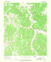
1968 · Osage
USGS Topo · 1:24,000