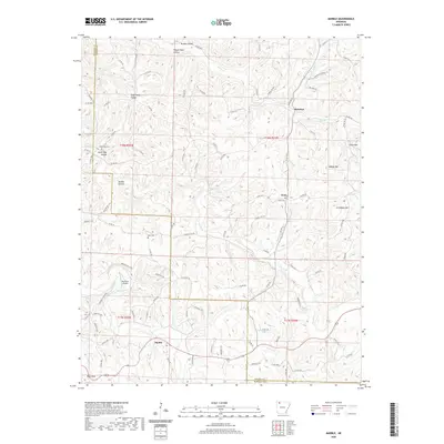
2020 Map of Marble
USGS Topo · Published 2020About this map
The Kings River and its numerous tributaries, including the significant Dry Fork, define the landscape of this Arkansas region on the border of Madison and Carroll Counties. Small residential clusters and family names characterize the settlement pattern, with Marble serving as a primary point of reference in the southwest. The terrain is deeply incised by hollows such as Sugarcamp Hollow and Wagon Shed Hollow, while prominent heights like Walker Mtn and Chinkapin Mtn rise above the drainage basins.
Find a feature on this map
103 named features on this map. Tap any name to fly to it.
Don’t see what you’re looking for? This feature index may not catch every label — zoom into the map to look around manually.
Map Details
Editions of this 2020 Marble Map
This is the sole edition of this map. No revisions or reprints were ever made.
Other maps of this area

1900 · Eureka Springs
USGS Topo · 1:125,000

1901 · Eureka Springs
USGS Topo · 1:125,000

1904 · Harrison
USGS Topo · 1:125,000

1905 · Harrison
USGS Topo · 1:125,000

1945 · Harrison
USGS Topo · 1:250,000

1949 · Harrison
USGS Topo · 1:250,000

1954 · Harrison
USGS Topo · 1:250,000

1958 · Harrison
USGS Topo · 1:250,000

1964 · Harrison
USGS Topo · 1:250,000
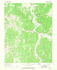
1968 · Osage
USGS Topo · 1:24,000