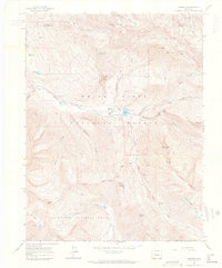
1960 Map of Marble
USGS Topo · Published 1964About this map
Marble sits as the central hub of this high-elevation mountain landscape, its grid of streets positioned alongside the Crystal River. The map details the area's industrial character during the early 1960s, specifically the extraction sites that built the town's reputation. Both the Yule Quarry and Strauss Quarry are documented on the slopes above Yule Creek, while the Skyline Mine and Center Mine highlight the wider mineral interests in the surrounding peaks.
Find a feature on this map
54 named features on this map. Tap any name to fly to it.
Don’t see what you’re looking for? This feature index may not catch every label — zoom into the map to look around manually.
Map Details
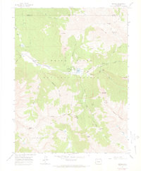
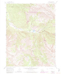
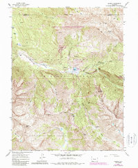
Editions of this 1960 Marble Map
5 editions found

Other maps of this area

1888 · Anthracite
USGS Topo · 1:62,500

1889 · Anthracite
USGS Topo · 1:62,500

1893 · Anthracite
USGS Topo · 1:62,500

1894 · Anthracite
USGS Topo · 1:62,500

1938 · Mt. Gunnison
USGS Topo · 1:48,000

1945 · Mount Gunnison
USGS Topo · 1:62,500

1956 · Montrose
USGS Topo · 1:250,000

1957 · Leadville
USGS Topo · 1:250,000

1959 · Leadville
USGS Topo · 1:250,000

1959 · Montrose
USGS Topo · 1:250,000