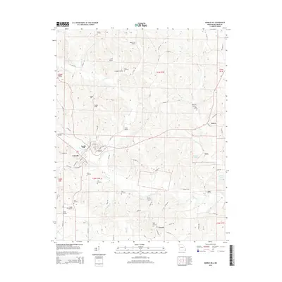
2015 Map of Marble Hill
USGS Topo · Published 2015About this map
Marble Hill and the adjacent community of Lutesville serve as the primary hub of this Bollinger County landscape, situated along the winding course of Crooked Creek. The terrain is defined by a series of named hollows and ridges, such as Turkey Ridge and Board Tree Hollow, which dictate the winding paths of the local road network. The map reveals a dense concentration of small cemeteries, including Burton Cemetery, Baker Cemetery, and Shell Cemetery, providing essential data for genealogists tracing families in the Ozark foothills.
Find a feature on this map
89 named features on this map. Tap any name to fly to it.
Don’t see what you’re looking for? This feature index may not catch every label — zoom into the map to look around manually.
Map Details
Editions of this 2015 Marble Hill Map
This is the sole edition of this map. No revisions or reprints were ever made.
Other maps of this area

1933 · Marble Hill
USGS Topo · 1:62,500

1933 · Marquand
USGS Topo · 1:62,500

1934 · Advance
USGS Topo · 1:62,500

1935 · Zalma
USGS Topo · 1:62,500

1937 · Marble Hill
USGS Topo · 1:62,500

1938 · Marquand
USGS Topo · 1:62,500

1939 · Advance
USGS Topo · 1:62,500

1939 · Zalma
USGS Topo · 1:62,500

1949 · Paducah
USGS Topo · 1:250,000

1949 · Rolla
USGS Topo · 1:250,000