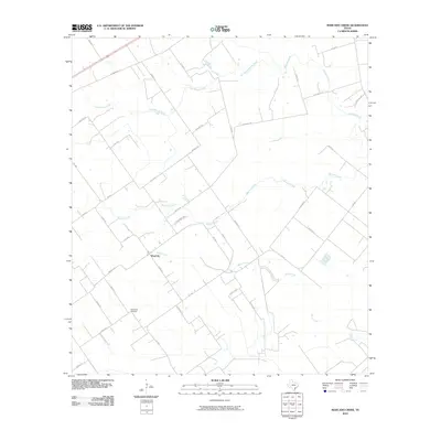
2010 Map of Marcado Creek
USGS Topo · Published 2010About this map
Wood Hi serves as a central point in this part of Victoria County, where the landscape is defined by a network of drainage systems feeding into the coastal plains. The topography is shaped by the winding courses of Marcado Creek, Aguila Creek, and Casa Blanca Creek, which navigate through a patchwork of agricultural plots and rural homesteads. The layout of the road system, including routes like FM 1686 and Old Highway Rd, suggests a long-standing reliance on overland transport for local commerce.
Find a feature on this map
37 named features on this map. Tap any name to fly to it.
Don’t see what you’re looking for? This feature index may not catch every label — zoom into the map to look around manually.
Map Details
Editions of this 2010 Marcado Creek Map
This is the sole edition of this map. No revisions or reprints were ever made.
Other maps of this area

1951 · Bloomington
USGS Topo · 1:24,000

1951 · Inez NW
USGS Topo · 1:24,000

1951 · Inez
USGS Topo · 1:24,000

1952 · Edna
USGS Topo · 1:24,000

1952 · Kamey
USGS Topo · 1:24,000

1952 · La Salle
USGS Topo · 1:24,000

1952 · Marcado Creek
USGS Topo · 1:24,000

1952 · Placedo
USGS Topo · 1:24,000

1952 · Victoria East
USGS Topo · 1:24,000

1953 · Beeville
USGS Topo · 1:250,000