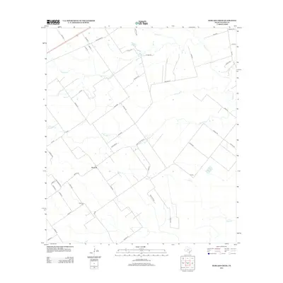
2013 Map of Marcado Creek
USGS Topo · Published 2013About this map
Wood Hi serves as the central settlement point in this Victoria County coastal prairie landscape, where seasonal drainage ways define the local geography. The area is characterized by a network of creeks, including the winding Marcado Cr and the larger Garcitas Cr, which carve through the ranching and agricultural tracts. A significant landmark for local history researchers is the Shillerville Cem, located in the southern portion of the quadrangle near the junction of several rural routes. The map illustrates a transitional landscape of large land holdings and rural estates, evidenced by family-named thoroughfares such as Hanselka Rd and Venglar Rd. The convergence of several creek systems like Agula Cr and Casa Blanca Cr suggests a terrain shaped by water flow across the flat Texas coastal plain, providing a clear view of the rural infrastructure in the early 21st century.
Find a feature on this map
50 named features on this map. Tap any name to fly to it.
Don’t see what you’re looking for? This feature index may not catch every label — zoom into the map to look around manually.
Map Details
Editions of this 2013 Marcado Creek Map
This is the sole edition of this map. No revisions or reprints were ever made.
Other maps of this area

1951 · Bloomington
USGS Topo · 1:24,000

1951 · Inez NW
USGS Topo · 1:24,000

1951 · Inez
USGS Topo · 1:24,000

1952 · Edna
USGS Topo · 1:24,000

1952 · Kamey
USGS Topo · 1:24,000

1952 · La Salle
USGS Topo · 1:24,000

1952 · Marcado Creek
USGS Topo · 1:24,000

1952 · Placedo
USGS Topo · 1:24,000

1952 · Victoria East
USGS Topo · 1:24,000

1953 · Beeville
USGS Topo · 1:250,000