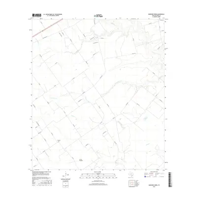
2016 Map of Marcado Creek
USGS Topo · Published 2016About this map
Shillerville Cem serves as a primary genealogical landmark in this portion of Victoria County, situated amidst a landscape defined by an intricate network of coastal prairie drainage. The namesake Marcado Creek flows centrally through the area, joined by other significant watercourses such as Agula Cr, Casa Blanca Cr, and the Arroyo Palo Alto. The terrain is marked by a transition from traditional rural routes like Old Highway Rd to modern thoroughfares such as FM 1686. Local family names are etched into the geography via residential roads and farm tracks, including Tara Rd, Midway Rd, and Twelve Oaks Dr. This modern topographic survey illustrates how historical land partitions and water rights have shaped the contemporary settlement patterns of the Texas coastal plain.
Find a feature on this map
49 named features on this map. Tap any name to fly to it.
Don’t see what you’re looking for? This feature index may not catch every label — zoom into the map to look around manually.
Map Details
Editions of this 2016 Marcado Creek Map
This is the sole edition of this map. No revisions or reprints were ever made.
Other maps of this area

1951 · Bloomington
USGS Topo · 1:24,000

1951 · Inez NW
USGS Topo · 1:24,000

1951 · Inez
USGS Topo · 1:24,000

1952 · Edna
USGS Topo · 1:24,000

1952 · Kamey
USGS Topo · 1:24,000

1952 · La Salle
USGS Topo · 1:24,000

1952 · Marcado Creek
USGS Topo · 1:24,000

1952 · Placedo
USGS Topo · 1:24,000

1952 · Victoria East
USGS Topo · 1:24,000

1953 · Beeville
USGS Topo · 1:250,000