2021 Map of Marceline
USGS Topo · Published 2021About this map
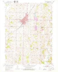
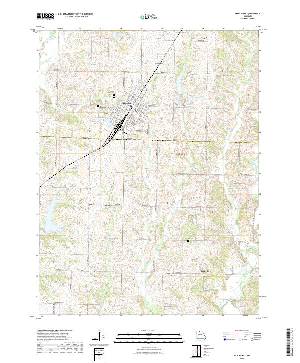
Marceline serves as the primary hub of this North Central Missouri landscape, situated where the rolling plains of Linn County meet Chariton County. The town's grid is dense with residential and commercial streets, including W Broadway St and E Santa Fe Ave, reflecting its history as a significant rail-oriented community. Beyond the city limits, the terrain is defined by a network of creeks and branches, such as Slater Br and Locust Br, which feed into larger water bodies like Asher Lake and the meandering Mussel Fork.
Find a feature on this map
55 named features on this map. Tap any name to fly to it.
Don’t see what you’re looking for? This feature index may not catch every label — zoom into the map to look around manually.
Map Details
Editions of this 2021 Marceline Map
This is the sole edition of this map. No revisions or reprints were ever made.
Historical Maps of Marceline Through Time
5 maps found