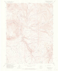
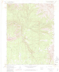
1961 Map of Marcellina Mountain
USGS Topo · Published 1968About this map
The boundary between the White River National Forest and Gunnison National Forest cuts through this high-altitude landscape, where livestock movement was central to the local economy. The presence of the Ruby Stock Driveway and the Munsey Ruby Stock Driveway highlights the historical routes used for seasonal grazing. Evidence of ranching operations is grounded at the West Side Cow Camp in the southern portion of the quadrangle.
Find a feature on this map
38 named features on this map. Tap any name to fly to it.
Don’t see what you’re looking for? This feature index may not catch every label — zoom into the map to look around manually.
Map Details
Editions of this 1961 Marcellina Mountain Map
5 editions found
Other maps of this area

1888 · Anthracite
USGS Topo · 1:62,500

1889 · Anthracite
USGS Topo · 1:62,500

1893 · Anthracite
USGS Topo · 1:62,500

1894 · Anthracite
USGS Topo · 1:62,500

1938 · Mt. Gunnison
USGS Topo · 1:48,000

1945 · Mount Gunnison
USGS Topo · 1:62,500

1956 · Montrose
USGS Topo · 1:250,000

1957 · Leadville
USGS Topo · 1:250,000

1959 · Leadville
USGS Topo · 1:250,000

1959 · Montrose
USGS Topo · 1:250,000