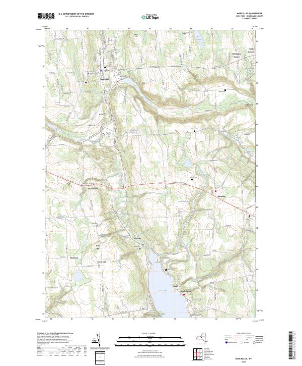
2023 Map of Marcellus
USGS Topo · Published 2023About this map
Marcellus anchors the northern portion of this landscape, where the waters of Ninemile Creek flow through a valley defined by Baker Hill and Howlet Hill. The area retains a distinct rural character, with the W Seneca Tpke traversing the terrain past historic crossroads such as Pumpkin Hollow and Cards Corners. To the south, the terrain descends toward the northern tip of Otisco Lake, where small communities like Amber and Heath Grove line the shore near The Narrows.
Find a feature on this map
132 named features on this map. Tap any name to fly to it.
Don’t see what you’re looking for? This feature index may not catch every label — zoom into the map to look around manually.
Map Details
Editions of this 2023 Marcellus Map
This is the sole edition of this map. No revisions or reprints were ever made.
Other maps of this area

1895 · Syracuse
USGS Topo · 1:62,500

1898 · Syracuse
USGS Topo · 1:62,500

1899 · Skaneateles
USGS Topo · 1:62,500

1900 · Baldwinsville
USGS Topo · 1:62,500

1900 · Tully
USGS Topo · 1:62,500

1902 · Skaneateles
USGS Topo · 1:62,500

1939 · Syracuse West
USGS Topo · 1:24,000

1943 · South Onondaga
USGS Topo · 1:31,680

1943 · Jordan
USGS Topo · 1:31,680

1943 · Spafford
USGS Topo · 1:31,680