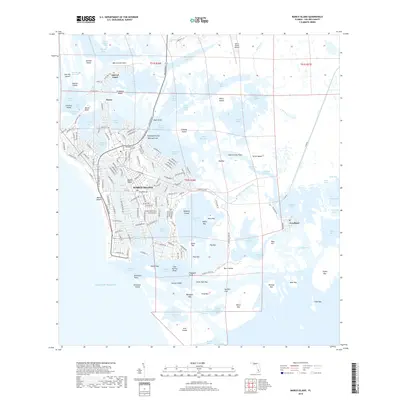
2018 Map of Marco Island
USGS Topo · Published 2018About this map
Marco Island serves as the focal point of this coastal survey, showcasing the intricate network of canals and developed shoreline along the Gulf of Mexico. The transition from the dense residential grid of Marco and Marco Beach to the sprawling tidal environments of the Ten Thousand Islands is starkly visible. To the southeast, the small settlement of Goodland remains isolated among the mangroves, connected by the Big Marco River.
Find a feature on this map
226 named features on this map. Tap any name to fly to it.
Don’t see what you’re looking for? This feature index may not catch every label — zoom into the map to look around manually.
Map Details
Editions of this 2018 Marco Island Map
This is the sole edition of this map. No revisions or reprints were ever made.
Other maps of this area

1956 · Miami
USGS Topo · 1:250,000

1956 · West Palm Beach
USGS Topo · 1:250,000

1957 · West Palm Beach
USGS Topo · 1:250,000

1958 · West Palm Beach
USGS Topo · 1:250,000

1958 · Miami
USGS Topo · 1:250,000

1958 · Belle Meade
USGS Topo · 1:24,000

1958 · Naples South
USGS Topo · 1:24,000

1958 · Belle Meade SE
USGS Topo · 1:24,000

1973 · Cape Romano
USGS Topo · 1:24,000

1973 · Marco Island
USGS Topo · 1:24,000