Loading...
Loading map...2025 Map of Marco Island
USGS Topo · Published 2025About this map
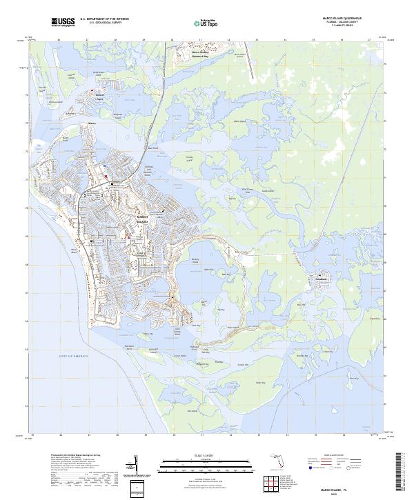
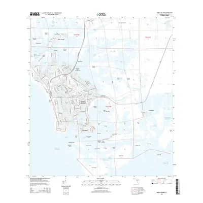
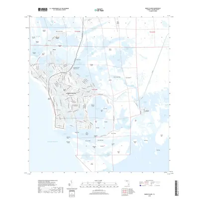
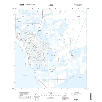
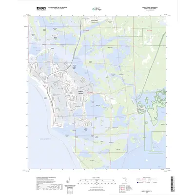
Marco Island's intricate network of mangrove keys, bays, and residential canals is revealed in this detail-heavy coastal survey. The map documents the high-density street grids of the island, including major thoroughfares like N Collier Blvd and the southern residential reaches around Caxambas Bay. For local historians and genealogists, the inclusion of the Marco Island Cem and the Caxambas Pioneer Cem provides specific points of interest for early settler history.
Find a feature on this map
193 named features on this map. Tap any name to fly to it.
Don’t see what you’re looking for? This feature index may not catch every label — zoom into the map to look around manually.
Map Details
Date Portrayed2025
Date Published2025
PublisherU.S. Geological Survey
Map TypeTopographic
Scale1:24,000
Physical Dimensions24 x 29 inches
Editions of this 2025 Marco Island Map
This is the sole edition of this map. No revisions or reprints were ever made.
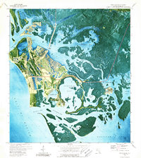
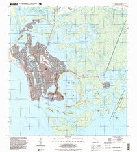
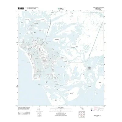
Historical Maps of Marco Island Through Time
8 maps found
Featured Locations
Source Details
SourceU.S. Geological Survey
CopyrightPublic Domain