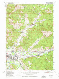
1950 Map of Marcola
USGS Topo · Published 1975About this map
The Mohawk River and McKenzie River valleys define this mid-century look at Lane County, where the Southern Pacific railroad served a network of timber and agricultural communities. Centered on the town of Marcola, the landscape is dotted with local institutions like the Mohawk Union HS and the Yarnell Church. To the north, the rail line terminates at Wendling, while the southern reaches show the early growth of Springfield and Thurston.
Find a feature on this map
58 named features on this map. Tap any name to fly to it.
Don’t see what you’re looking for? This feature index may not catch every label — zoom into the map to look around manually.
Map Details
Editions of this 1950 Marcola Map
2 editions found

Other maps of this area

1909 · Rowland
USGS Topo · 1:31,680

1910 · Eugene
USGS Topo · 1:62,500

1912 · Halsey
USGS Topo · 1:62,500

1921 · Brownsville
USGS Topo · 1:62,500

1921 · Cottage Grove
USGS Topo · 1:62,500

1935 · Lowell
USGS Topo · 1:96,000

1940 · Eugene
USGS Topo · 1:62,500

1941 · Halsey
USGS Topo · 1:62,500

1942 · Lowell
USGS Topo · 1:125,000

1946 · Eugene
USGS Topo · 1:62,500