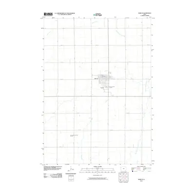
2010 Map of Marcus
USGS Topo · Published 2010About this map
Marcus serves as the central hub of this agricultural landscape in Cherokee County, its grid of streets anchored by the Marcus Post Office and bordered by the Holy Name Cemetery and Marcus-Amherst Cemetery to the south. The surrounding terrain is defined by a rigorous township-and-range road system, including routes like 450th St and 520th St, which cross a network of prairie waterways. Drainage follows the winding paths of the West Fork Little Sioux River and its tributaries, Whisky Creek and Fiddle Creek, which cut across the geometric field patterns. To the southwest, the curiously named Willies Bomber Patch Airport provides a distinct landmark for the local area. This survey by the U.S. Geological Survey captures the rural character of the region as it transitioned into the twenty-first century, preserving the placement of local cemeteries and farm-to-market infrastructure.
Find a feature on this map
18 named features on this map. Tap any name to fly to it.
Don’t see what you’re looking for? This feature index may not catch every label — zoom into the map to look around manually.
Map Details
Editions of this 2010 Marcus Map
This is the sole edition of this map. No revisions or reprints were ever made.
Other maps of this area

1954 · Fort Dodge
USGS Topo · 1:250,000

1957 · Fort Dodge
USGS Topo · 1:250,000

1958 · Fort Dodge
USGS Topo · 1:250,000

1969 · Cleghorn
USGS Topo · 1:24,000

1969 · Fielding
USGS Topo · 1:24,000
1969 · Granville West
USGS Topo · 1:24,000
1969 · Marcus
USGS Topo · 1:24,000
1969 · Granville East
USGS Topo · 1:24,000
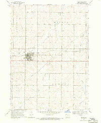
1969 · Remsen
USGS Topo · 1:24,000
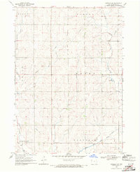
1969 · Kingsley NW
USGS Topo · 1:24,000