Loading...
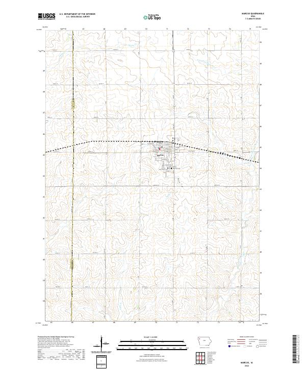
Loading map...2022 Map of Marcus
USGS Topo · Published 2022About this map
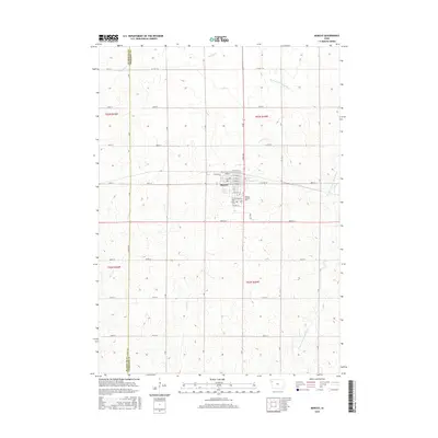
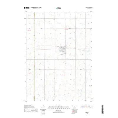
Marcus serves as the central hub for this portion of Cherokee County, defined by its grid of residential streets and its proximity to the W Fork Little Sioux River. The town's layout reflects a classic midwestern settlement pattern, with E Railroad St and W Cedar St anchoring the commercial and transport corridor. Religious and community history is preserved at the southern edge of town at Amherst Cem and Holy Name Cem, located near E Fenton St.
Find a feature on this map
49 named features on this map. Tap any name to fly to it.
Don’t see what you’re looking for? This feature index may not catch every label — zoom into the map to look around manually.
Map Details
Date Portrayed2022
Date Published2022
PublisherU.S. Geological Survey
Map TypeTopographic
Scale1:24,000
Physical Dimensions24 x 29 inches
Editions of this 2022 Marcus Map
This is the sole edition of this map. No revisions or reprints were ever made.
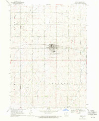
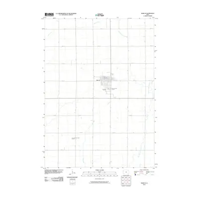
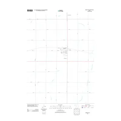
Historical Maps of Marcus Through Time
6 maps found
Featured Locations
Source Details
SourceU.S. Geological Survey
CopyrightPublic Domain