
1942 Map of Marcus
USGS Topo · Published 1942About this map
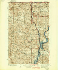
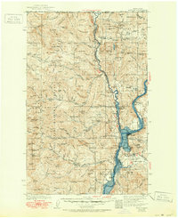
The Kettle River defines the geography of northern Stevens County, carving through the mountainous terrain of the Colville National Forest before joining the Columbia. In the years just before the construction of the Grand Coulee Dam would permanently alter this river valley, settlements like Marcus and Pingston remained focused on the Great Northern rail line and local industry. The map documents a rugged landscape punctuated by early pioneer infrastructure, including the Old Catholic Mission near Kettle Falls and a series of high-altitude camps such as Midget Cr Camp and Snowshoe Camp. Mineral extraction is a prominent theme, with the First Thought Mine, Big Iron Mine, and Gold Reef Mine scattered across the eastern peaks. Local education was decentralized, as evidenced by several remote schoolhouses like Kelly Hill Sch and Greenwood Sch serving the rural communities and cabins of the valley floor.
Find a feature on this map
131 named features on this map. Tap any name to fly to it.
Don’t see what you’re looking for? This feature index may not catch every label — zoom into the map to look around manually.
Map Details
Editions of this 1942 Marcus Map
3 editions found
Other maps of this area

1904 · Republic
USGS Topo · 1:125,000

1927 · Chewelah
USGS Topo · 1:125,000

1929 · Colville
USGS Topo · 1:125,000

1930 · Chewelah
USGS Topo · 1:125,000

1933 · Colville
USGS Topo · 1:125,000

1936 · Marcus
USGS Topo · 1:96,000

1948 · Curlew
USGS Topo · 1:62,500

1948 · Republic
USGS Topo · 1:62,500

1948 · Sherman Peak
USGS Topo · 1:62,500

1948 · Kettle Falls
USGS Topo · 1:62,500