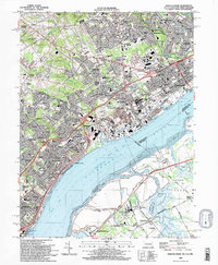
1993 Map of Marcus Hook
USGS Topo · Published 1993About this map
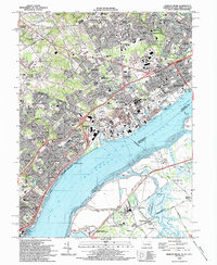
The Delaware River serves as the industrial and navigational spine of this 1993 study, separating the dense rail corridors of Pennsylvania and New Jersey. This region is defined by a heavy concentration of infrastructure, where the Conrail lines support a landscape of refineries and shipping terminals. The sprawling city of Chester dominates the northern bank, while the Commodore Barry Toll Bridge connects it to the marshier flats of Gloucester County.
Find a feature on this map
120 named features on this map. Tap any name to fly to it.
Don’t see what you’re looking for? This feature index may not catch every label — zoom into the map to look around manually.
Map Details
Editions of this 1993 Marcus Hook Map
2 editions found
Other maps of this area

1890 · Salem
USGS Topo · 1:62,500

1894 · Chester
USGS Topo · 1:62,500

1896 · Chester
USGS Topo · 1:62,500

1898 · Salem
USGS Topo · 1:62,500

1898 · Chester
USGS Topo · 1:62,500

1901 · Camden
USGS Topo · 1:125,000

1901 · West Chester
USGS Topo · 1:62,500

1904 · West Chester
USGS Topo · 1:62,500

1904 · Wilmington
USGS Topo · 1:62,500

1906 · Wilmington
USGS Topo · 1:62,500