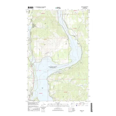
2017 Map of Marcus
USGS Topo · Published 2017About this map
Lake Roosevelt National Recreation Area dominates this Stevens County landscape, where the impounded waters of Franklin D Roosevelt Lake define the modern shoreline. The settlement of Marcus sits perched above the water, while smaller locales like Evans and Bear trace the higher ground along the eastern bank. The terrain rises sharply from the Marcus Flats toward prominent heights such as Gold Hill and the Seven Devils formation.
Find a feature on this map
57 named features on this map. Tap any name to fly to it.
Don’t see what you’re looking for? This feature index may not catch every label — zoom into the map to look around manually.
Map Details
Editions of this 2017 Marcus Map
This is the sole edition of this map. No revisions or reprints were ever made.
Other maps of this area

1929 · Colville
USGS Topo · 1:125,000

1933 · Colville
USGS Topo · 1:125,000

1936 · Marcus
USGS Topo · 1:96,000

1942 · Marcus
USGS Topo · 1:125,000

1948 · Kettle Falls
USGS Topo · 1:62,500

1948 · Orient
USGS Topo · 1:62,500

1951 · Orient
USGS Topo · 1:62,500

1951 · Kettle Falls
USGS Topo · 1:62,500

1952 · Echo Valley
USGS Topo · 1:24,000

1952 · Colville
USGS Topo · 1:24,000