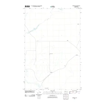
2011 Map of Marengo
USGS Topo · Published 2011About this map
Cow Creek winds through the eastern Washington landscape, connecting the waters of Finnell Lake and Cow Lake in this high-desert region of Adams County. The terrain is defined by the Marengo Hills and the prominent elevation of Terksaleeze Butte to the south. Small rural settlements and loading points are scattered throughout the territory, including Marengo, Teske, Carlmar, Gillespie, and Emden. The presence of the John Wayne Trl following the old rail corridor, alongside roads like McCall Rd and N Marengo Rd, illustrates the area's transition from an active agricultural shipping network to one utilized for recreation and local transport. The map provides a clear view of the sparse but vital infrastructure supporting these remote communities at the start of the 2010s.
Find a feature on this map
15 named features on this map. Tap any name to fly to it.
Don’t see what you’re looking for? This feature index may not catch every label — zoom into the map to look around manually.
Map Details
Editions of this 2011 Marengo Map
This is the sole edition of this map. No revisions or reprints were ever made.
Other maps of this area

1923 · Washtucna
USGS Topo · 1:62,500

1925 · Washtucna
USGS Topo · 1:62,500

1950 · Benge
USGS Topo · 1:62,500

1952 · Benge
USGS Topo · 1:62,500

1953 · Walla Walla
USGS Topo · 1:250,000

1953 · Ritzville
USGS Topo · 1:250,000

1958 · Walla Walla
USGS Topo · 1:250,000

1959 · Ritzville
USGS Topo · 1:250,000

1964 · Karakul Hills
USGS Topo · 1:24,000

1964 · Macall
USGS Topo · 1:24,000