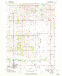
1970 Map of Marengo North
USGS Topo · Published 1972About this map
Marengo sits along the Kishwaukee River in this detailed 1970 snapshot of McHenry County’s agricultural landscape. The township divisions of Dunham, Hartland, and Seneca are clearly defined by a grid of rural roads, many bearing family names like Lembecke Road and Sullivan Road. The Chicago and North Western railway cuts through the northeastern corner near Hartland, a remnant of the region's historical rail importance. Numerous specialized sites are noted, from the Plum Tree Country Club to the Sewage Disposal Pond south of the main settlement. For those tracing local heritage, the map identifies several burial grounds including South Dunham Cem, Nelson County Cem, and the Pioneer Cem located near the intersection of Hughes Road and South St. The landscape is further marked by the North Branch and South Branch of the river, which converge near the southern corporate boundary.
Find a feature on this map
53 named features on this map. Tap any name to fly to it.
Don’t see what you’re looking for? This feature index may not catch every label — zoom into the map to look around manually.
Map Details
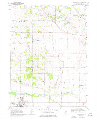
Editions of this 1970 Marengo North Map
2 editions found
Other maps of this area

1925 · Elgin
USGS Topo · 1:62,500

1926 · Mc Henry
USGS Topo · 1:62,500

1932 · Harvard
USGS Topo · 1:48,000

1937 · Harvard
USGS Topo · 1:62,500

1938 · Genoa
USGS Topo · 1:62,500

1940 · Elgin
USGS Topo · 1:62,500

1944 · McHenry
USGS Topo · 1:62,500

1954 · Rockford
USGS Topo · 1:250,000

1955 · Rockford
USGS Topo · 1:250,000

1958 · Rockford
USGS Topo · 1:250,000