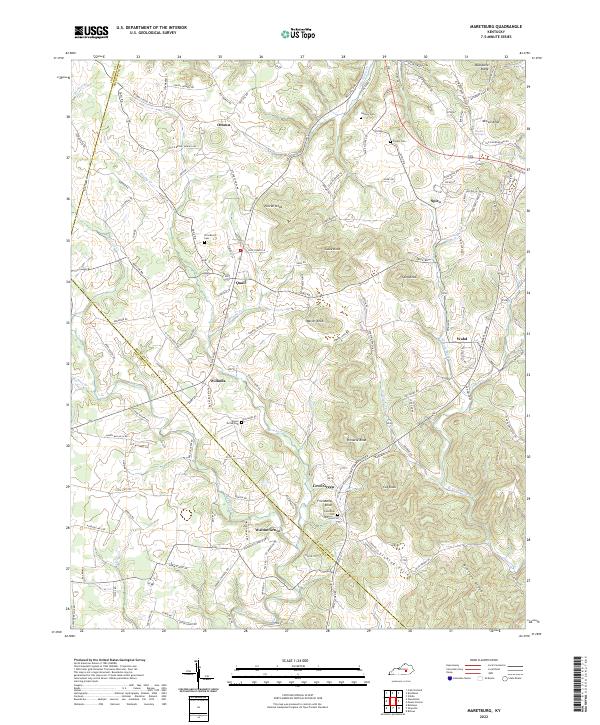
2022 Map of Maretburg
USGS Topo · Published 2022About this map
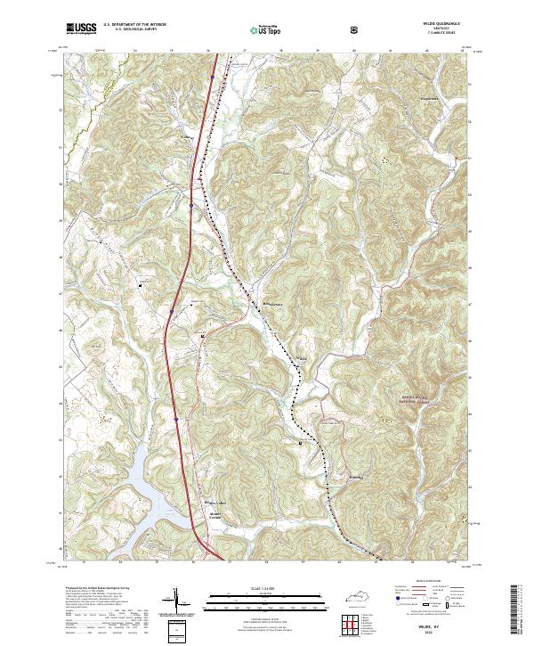
The rolling highlands of Rockcastle Co meet the borders of Lincoln Co and Pulaski Co in this detailed survey. This area is characterized by a dense network of small communities and family-named knobs, reflecting a long history of upland settlement and agriculture. Small hubs like Level Green, Ottawa, and Willailla anchor the landscape, while the rugged topography is defined by prominent elevations such as Purcell Knob, Cable Knob, and Friendship Knob.
Find a feature on this map
134 named features on this map. Tap any name to fly to it.
Don’t see what you’re looking for? This feature index may not catch every label — zoom into the map to look around manually.
Map Details
Editions of this 2022 Maretburg Map
This is the sole edition of this map. No revisions or reprints were ever made.
Historical Maps of Maretburg Through Time
10 maps found
1952 Billows
Rockcastle County, KY
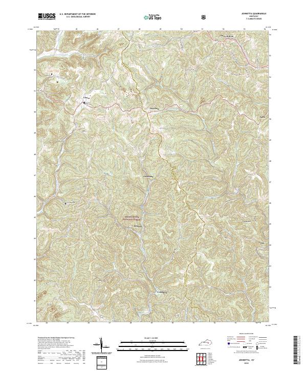
1953 Johnetta
Rockcastle County, KY
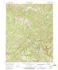
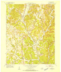
1953 Maretburg
Rockcastle County, KY
1953 Wildie
Rockcastle County, KY
1970 Wildie
Rockcastle County, KY
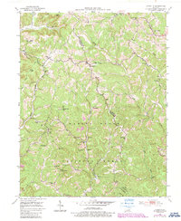
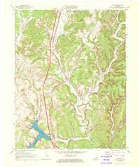
1993 Maretburg
Rockcastle County, KY

2022 Billows
Rockcastle County, KY
2022 Johnetta
Rockcastle County, KY
2022 Maretburg
Rockcastle County, KY
2022 Wildie
Rockcastle County, KY