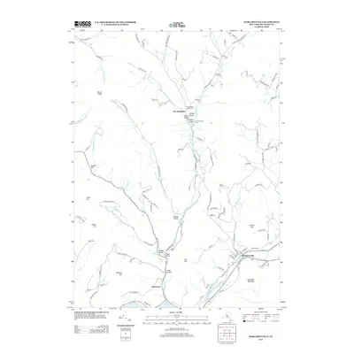
2013 Map of Margaretville
USGS Topo · Published 2013About this map
Margaretville anchors this survey of the Catskill Mountains' southern slopes, situated at the confluence of the E Br Delaware River and the Platte Kill. The landscape is defined by its dramatic relief, with steep ridges like Pakatakan Mountain and Mount Pisgah overlooking a network of deep hollows. These valleys, such as Canada Hollow and Weaver Hollow, have long dictated the patterns of settlement and transport in this part of Delaware County.
Find a feature on this map
104 named features on this map. Tap any name to fly to it.
Don’t see what you’re looking for? This feature index may not catch every label — zoom into the map to look around manually.
Map Details
Editions of this 2013 Margaretville Map
This is the sole edition of this map. No revisions or reprints were ever made.
Other maps of this area

1901 · Margaretville
USGS Topo · 1:62,500

1904 · Hobart
USGS Topo · 1:62,500

1904 · Margaretville
USGS Topo · 1:62,500

1909 · Delhi
USGS Topo · 1:62,500

1911 · Delhi
USGS Topo · 1:62,500

1922 · Andes
USGS Topo · 1:62,500

1924 · Andes
USGS Topo · 1:62,500

1943 · Bloomville
USGS Topo · 1:24,000
1945 · Seager
USGS Topo · 1:24,000

1945 · Fleischmanns
USGS Topo · 1:24,000