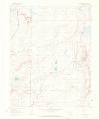
1963 Map of Maria Reservoir
USGS Topo · Published 1966About this map
The Cucharas River cuts through this landscape, defining a network of water management and transport in southern Colorado. This mid-century survey reveals a significant hydraulic system, with the Maria Reservoir, Holita Reservoir, and the large Cucharas Reservoir anchoring the area's agricultural and industrial potential. The presence of several family-named burial grounds, including Vigil Cem, Valdez Cem, and Bustos Cem, provides critical evidence of the early settlement patterns and the enduring presence of local families in this region.
Find a feature on this map
21 named features on this map. Tap any name to fly to it.
Don’t see what you’re looking for? This feature index may not catch every label — zoom into the map to look around manually.
Map Details
Editions of this 1963 Maria Reservoir Map
2 editions found
Other maps of this area

1891 · Walsenburg
USGS Topo · 1:125,000

1894 · Walsenburg
USGS Topo · 1:125,000

1897 · Walsenburg
USGS Topo · 1:125,000

1900 · Walsenburg
USGS Topo · 1:125,000

1954 · Trinidad
USGS Topo · 1:250,000

1955 · Trinidad
USGS Topo · 1:250,000

1958 · Trinidad
USGS Topo · 1:250,000

1959 · Trinidad
USGS Topo · 1:250,000
1963 · Walsenburg South
USGS Topo · 1:24,000
1963 · Walsenburg North
USGS Topo · 1:24,000